Grays and
Torreys Peak
Grays and
Torreys Peak
Colorado
June 22, 2024
This is a super popular hike considering its proximity to Denver and that it’s an easy way to bag two 14ers in a day.
I left Estes Park at 3:30am and reached the unpaved access road by 5:45am. There is a winter/overflow parking lot right off of I-70 about three miles short of the summer trailhead. If you wanted to shave some distance off the hike or find a spot to camp, there are some places to pull off for parking above the overflow lot.
The approach towards Grays peak from the parking lot
The road is bumpy and gets gradually worse as you get closer to the actual trailhead but it isn’t too bad. The last mile and a half before the trailhead is private land so you need to be careful where you park on that section. There was a bit of a traffic jam right before the main parking lot and the trailhead was super crowded (even at 6am). I didn’t see any sedans make it all the way to the upper trailhead parking. Finding a spot to park was the hardest part of the day but if you proceed up the access road just a bit beyond the main lot (it does get a bit bumpier) there were more open spots and free campsites.  

I hit Grays Peak Trail at 6:15am and reached the top of Grays (14,279ft) two hours later. I crossed the saddle over to Torreys (14,276ft) and reached the summit 45 minutes later. This would be the steepest part of the hike. It was a beautiful day and I spent most of the day in a sunshirt. There was a pretty good breeze on the traverse from Grays to Torreys that warranted some liner gloves, my buff, and a softshell jacket. 
Mountain goats on the trail and the saddle from Grays over to Torreys
It was crowded, hikers covered these mountains like ants. There was a bit of ice and there was a single snow patch on the way back down from Torreys but I didn’t end up using my microspikes.
There were a couple dedicated skiers up there to ski the one remaining couloir that had enough coverage. This is a pretty easy summer hike but I can see why there is decent avalanche risk in the winter time. 

In total the hike was 3,556ft, 8 miles and took 4 hours 15 minutes.
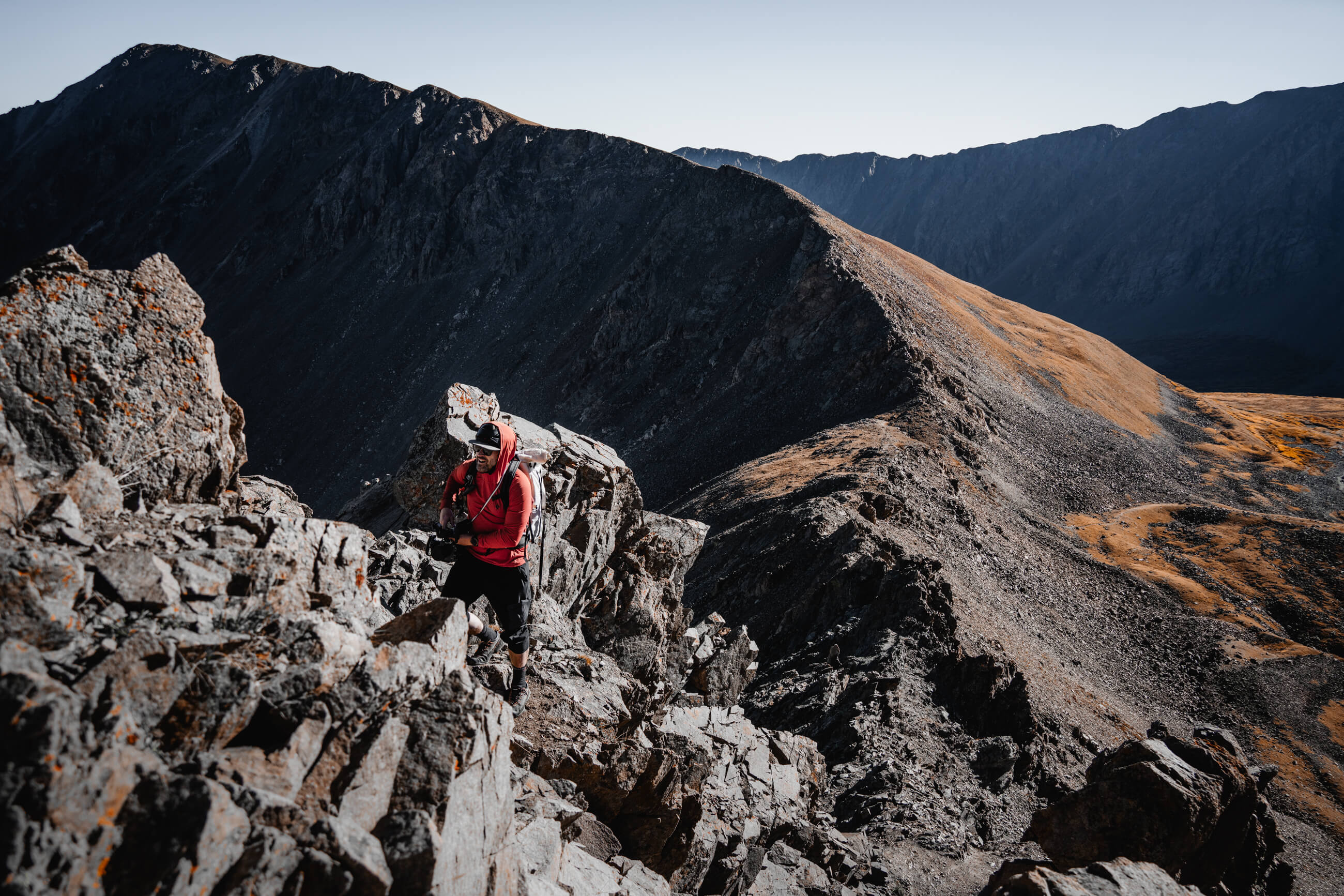
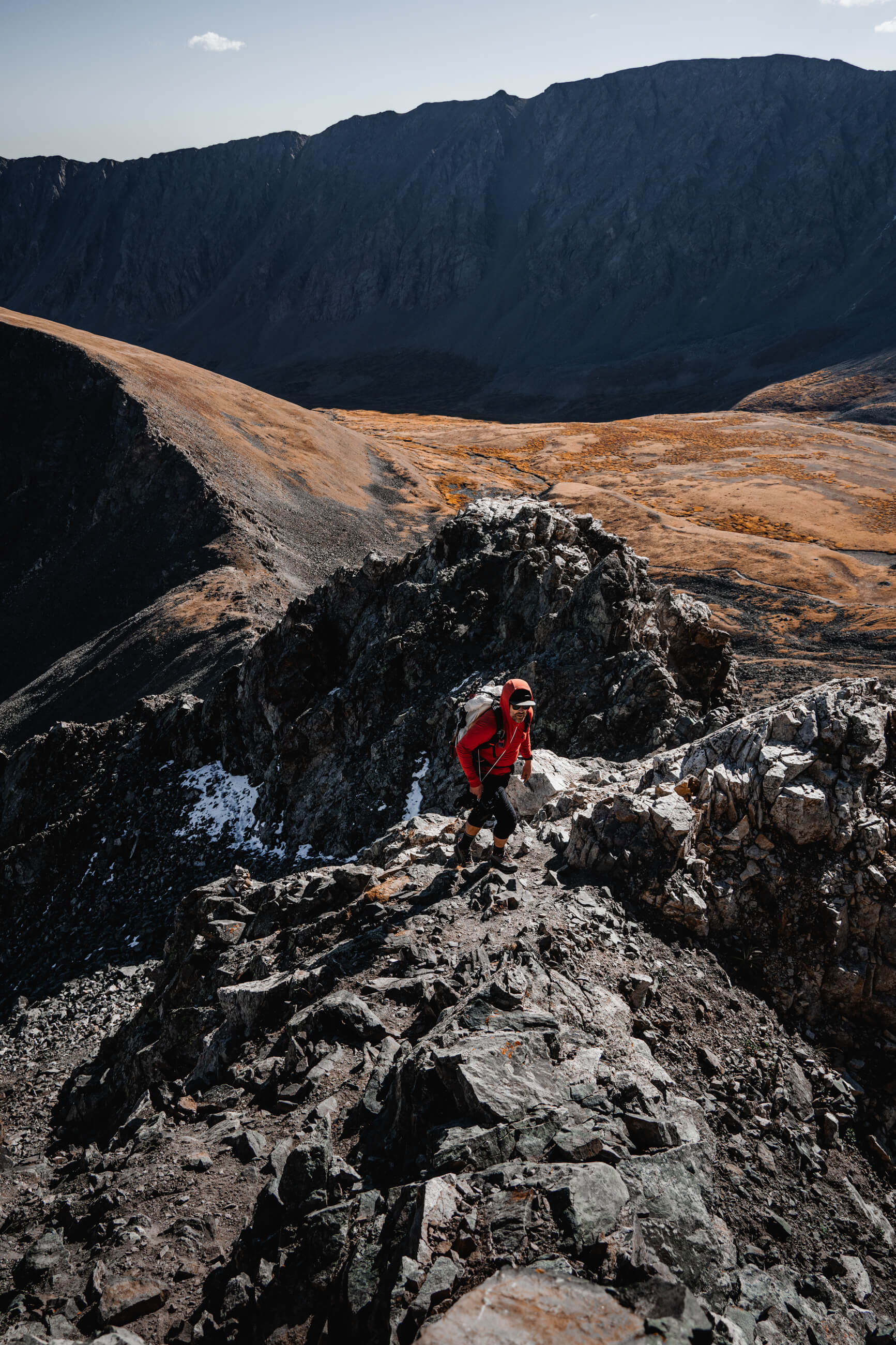
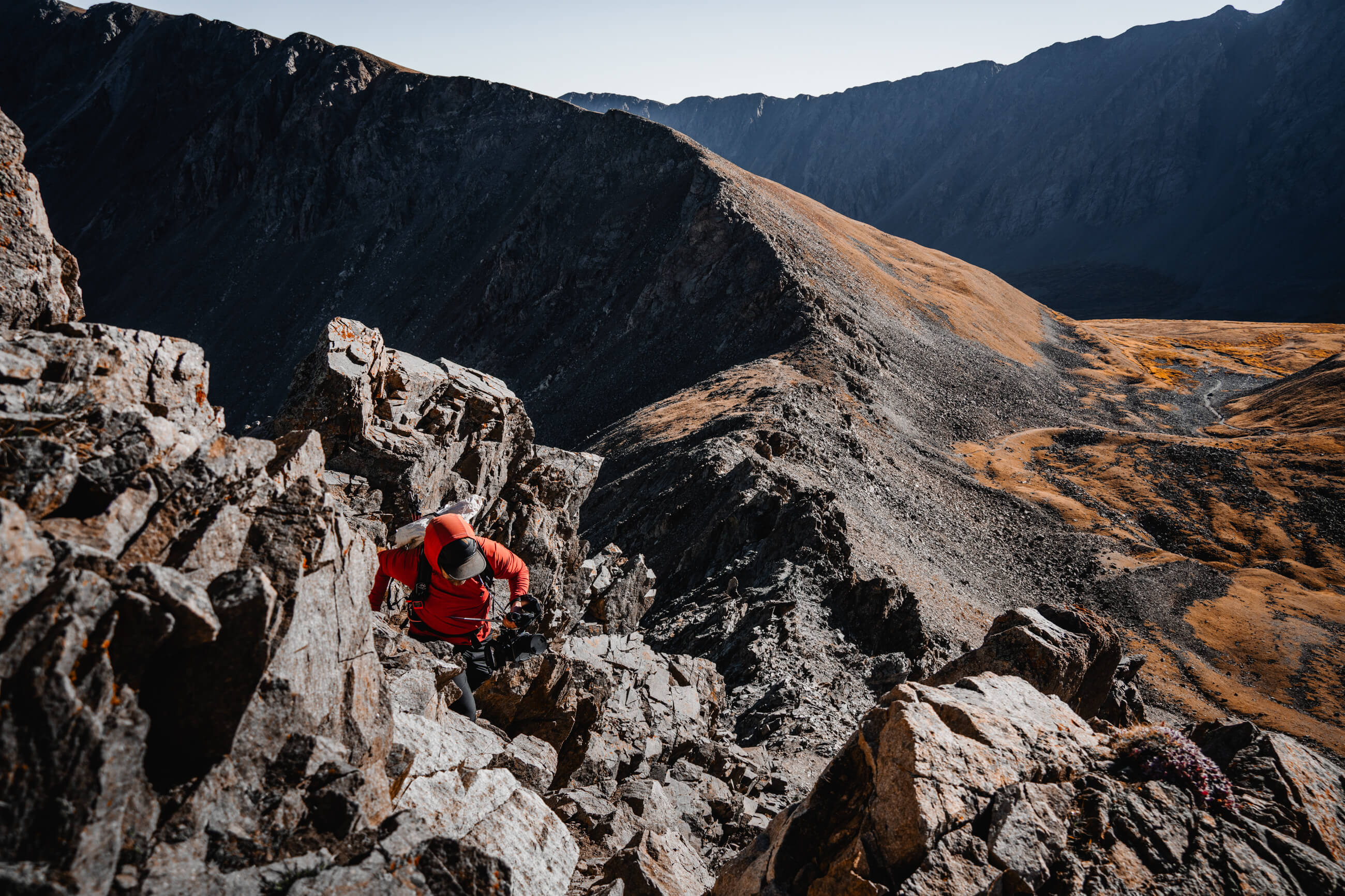
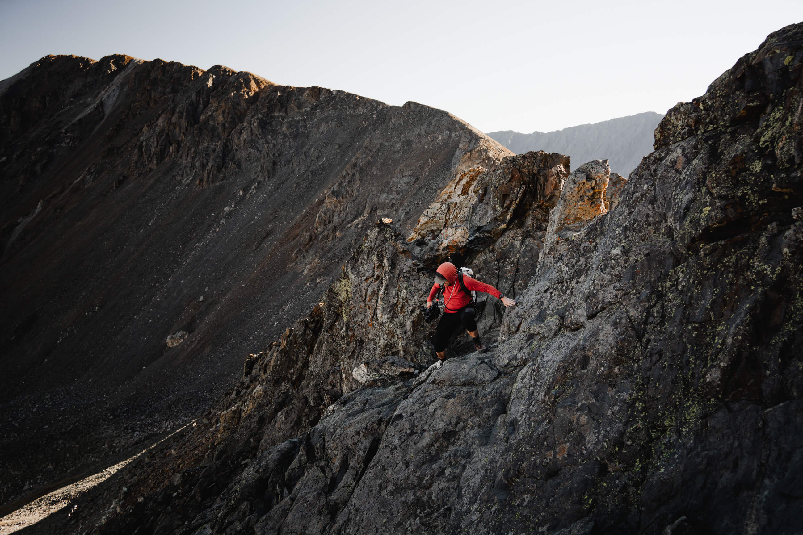
On September 24, 2024 I returned with Brian to hike Torreys via Kelso Ridge. Hiking via Kelso Ridge is definitely the “spicier” class 3 option.
You start from the same trailhead as the standard route but about 1.8 miles into the trail you take a right up towards Kelso mountain to take the ridge line. It's a pretty obvious turn and clearly looks much more intense than the standard well marked/traversed trail up towards Grays. 

Brian and I started up to the ridge and made our way around the first couple rocky outcroppings. The rock is solid and there are plenty of handholds. The first big obstacle is a fairly steep gully that you climb up and over. Again plenty of holds and we had a great time. Eventually you make it to the gully before the knife edge where there is some more of the steeper scrambling. At this point we had caught up with a couple large groups in front of us and there was a bit of a log jam the rest of the way. 

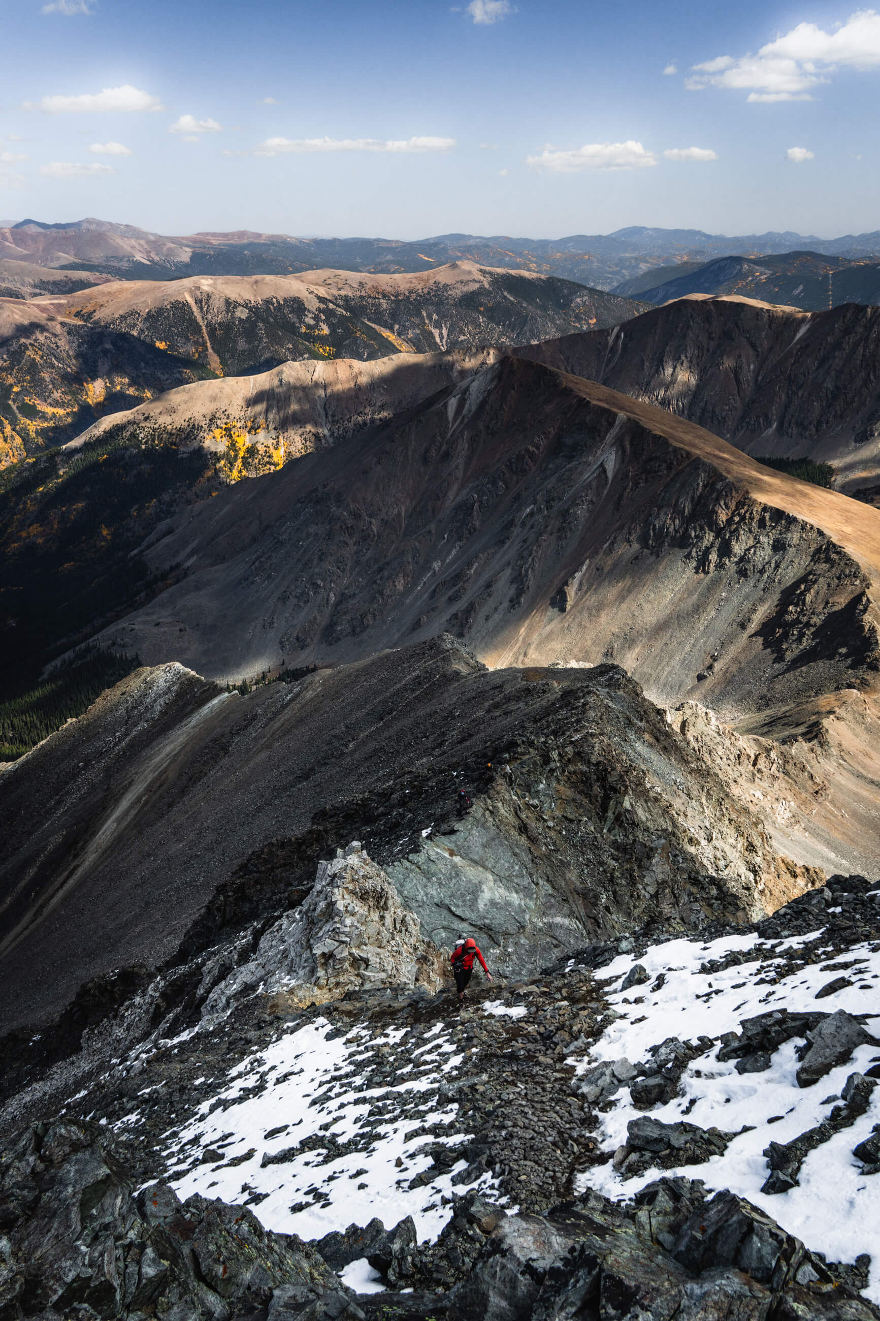
The knife edge is very exposed but it’s very short and easy to climb or shimmy over. After the white rock (that immediately follows the knife edge) it’s smooth sailing up some scree to the top top of Torreys. I am glad we had helmets, there is plenty of potential rock fall from any climbers above you. 

I’d say Kelso Ridge is a little easier than Longs Peak with the knife edge being the only part that got my palms a bit sweaty and heart pumping. 
The steep front face of Mount of the Holy Cross, the vista looking south from the summit, and the view from the ridge-line hiking up to the summit.